Exploring the School Grounds for Geography June 2024
As part of a geography unit on fieldwork and map skills, the Year 2 children have been exploring the school grounds to find physical and human features that they will need, in a future lesson, to show when drawing their own maps of the school grounds. The children also took the opportunity to play…
Geography - Year 3 OS Map Reading
Year 3 have been studying OS maps, looking at our local area and learning to find features using coordinates and symbols. They have discovered human and physical features of our local area and considered the difference between them.
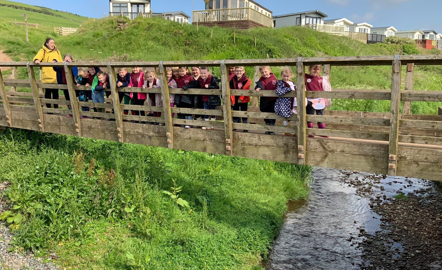
Reception St Bee’s trip 2024
Reception started our topic of ‘Commotion in the Ocean’ by going on a trip to St Bee’s beach. We explored the beach looking for crabs, pebbles and shells. We even found some crab legs! The children had fun climbing on the rocks, looking in rock pools and splashing in the waves. We then had an ice…
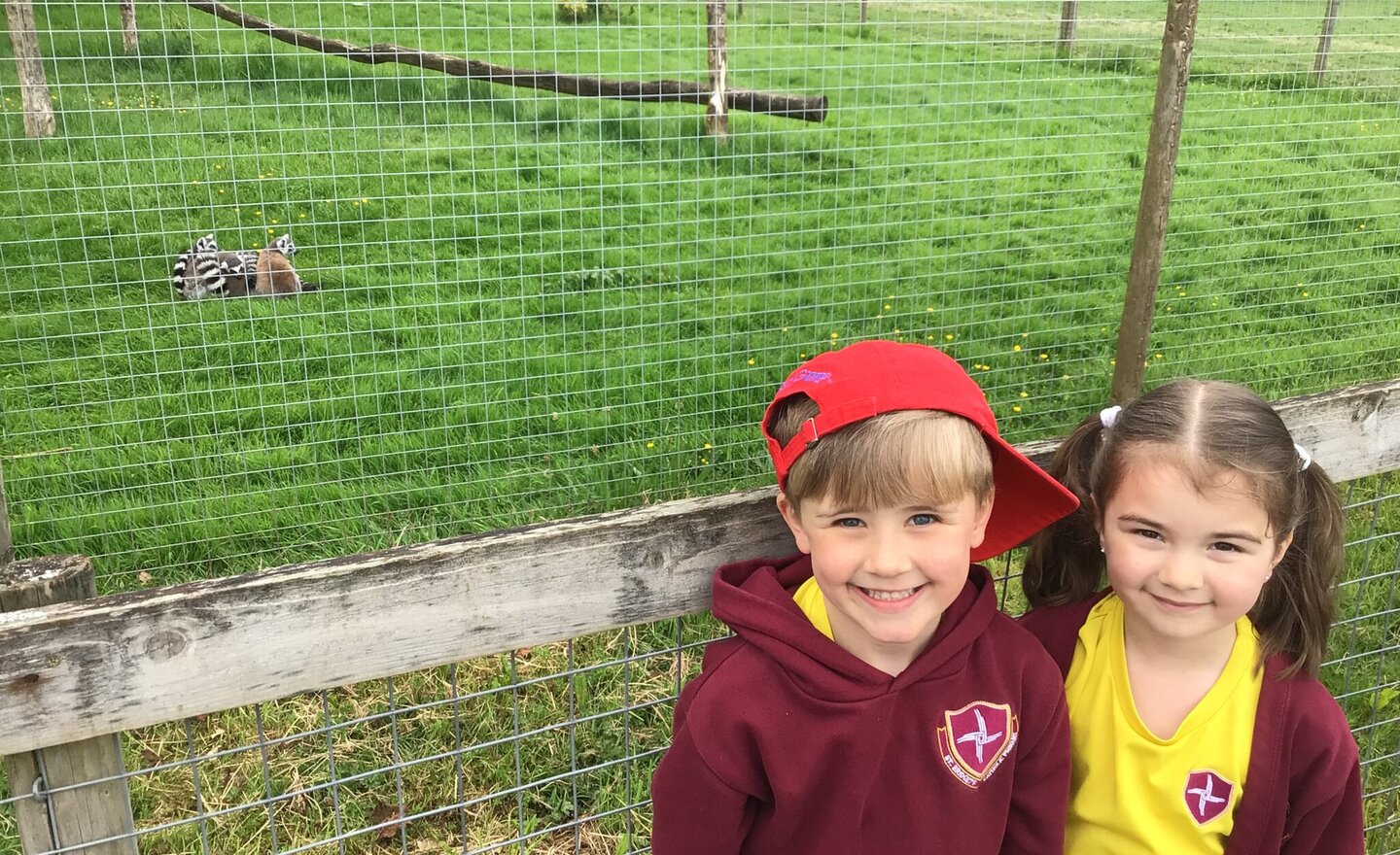
Wild About Wildlife in Year 1
Year 1 had a fantastic day visiting The Lake District Wildlife Park in Bassenthwaite. They were given a workshop by Lucy to learn about animal classification and conservation. Then there was time to explore the different animal enclosures around the park. Particular favourites were the lemurs,…
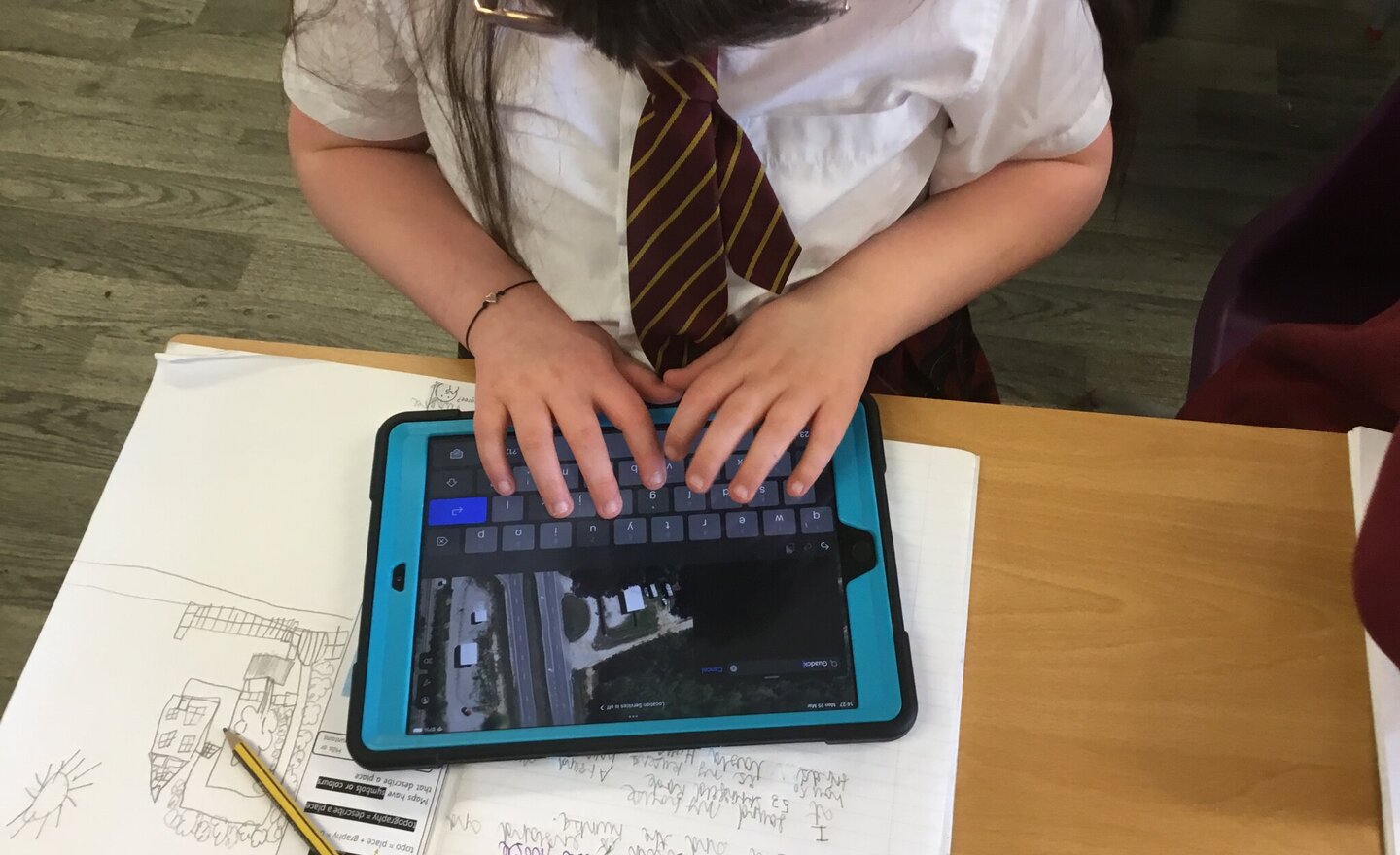
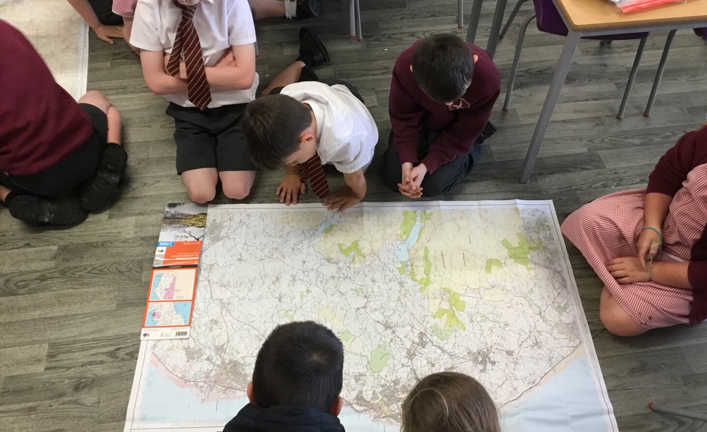
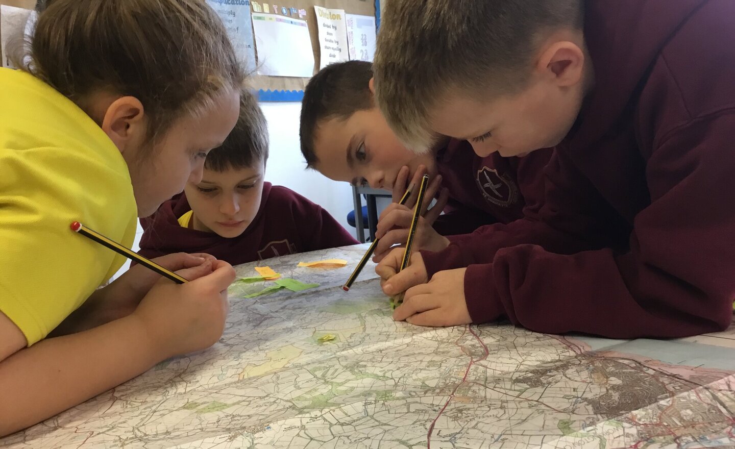
Year 3 Geography - Large Scale Maps
Year 3 have been studying regions and counties in the UK. They have located regions, capitals, counties, rivers, mountains and landmarks. After studying small scale maps over the last few weeks, they used their iPads to read large scale maps. They found their house, school, local facilities and…
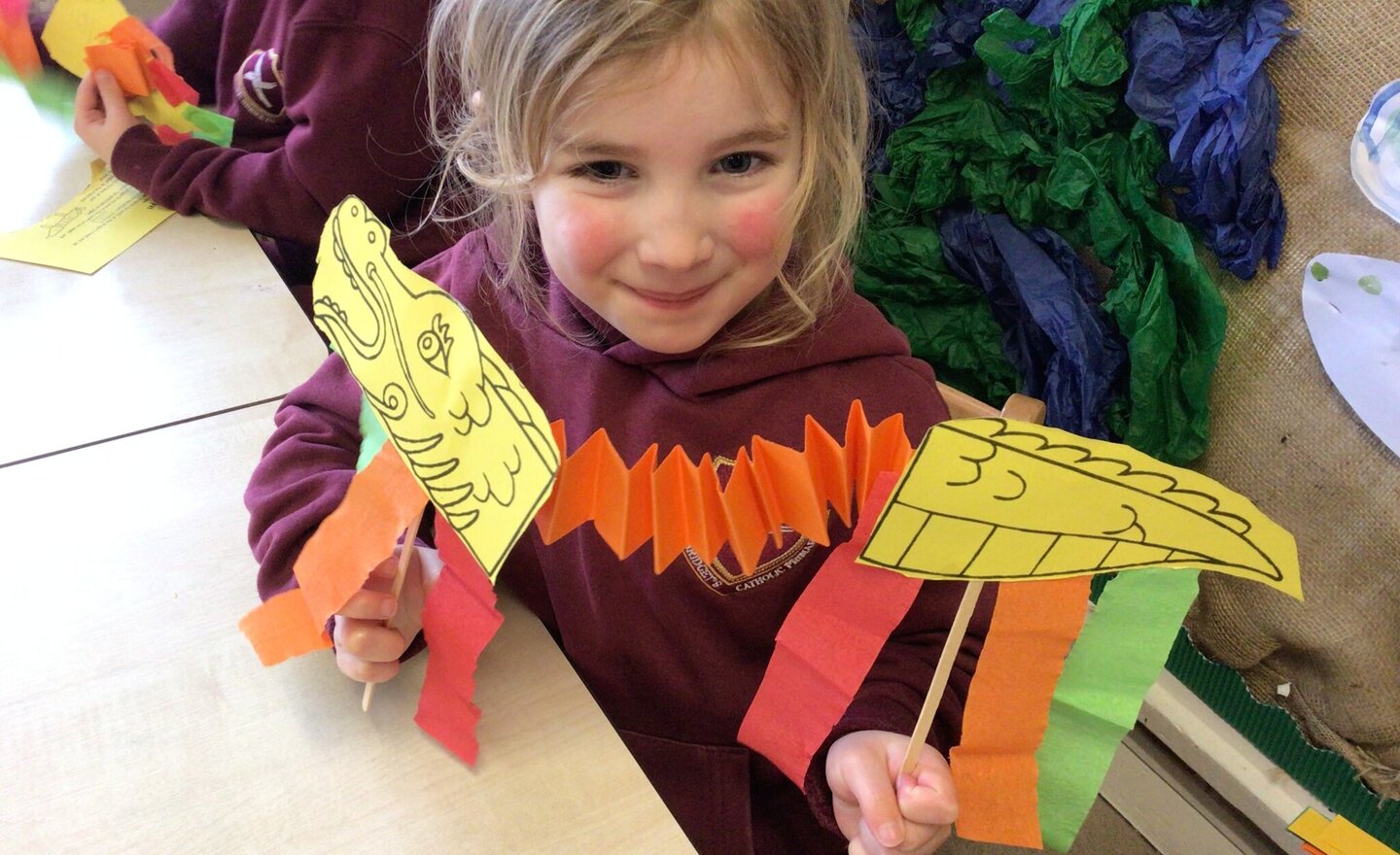
Learning about Chinese New Year
In Reception we were learning about Chinese New Year and that the symbol of the dragon was lucky. The children made their own moving dragons using a join fold. We learnt that if we were born in 2018 we were the year of the dog and if we were born in 2019 we were the year of the pig. We also learnt…
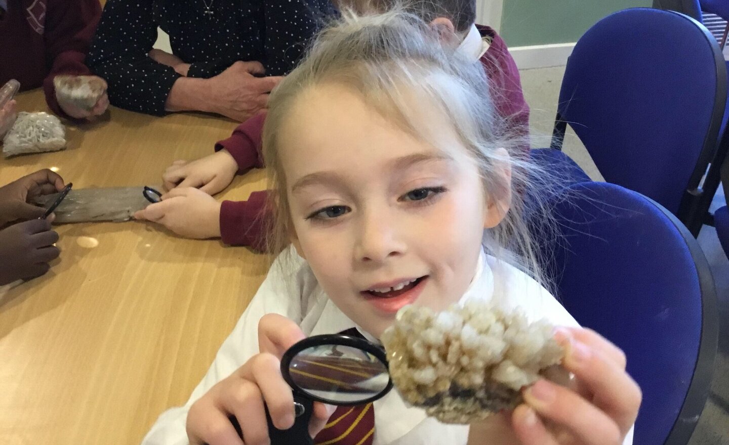
Year 1 Visit to Keswick Museum
We had so much fun on our wonderful trip to Keswick Museum. We enjoyed our fossil workshop, learning about fossils and the geology of Cumbria. We found out all about the continents millions of years ago and that once Cumbria was in the Southern Hemisphere and was covered in tropical rainforest.…
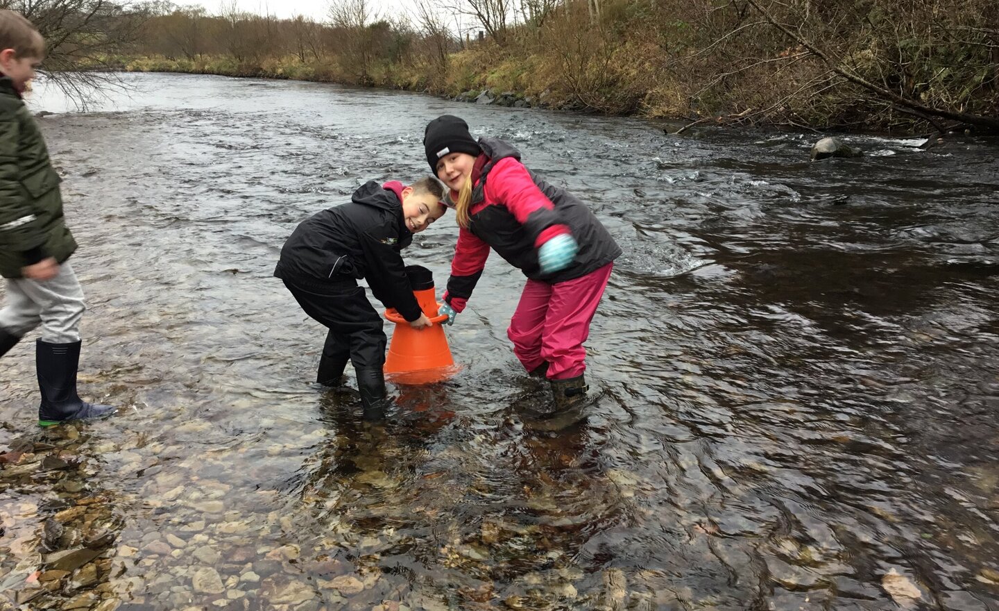
Rivers Field Trip
Year 4 went to Ennerdale to investigate their local river, the River Ehen. We started with a treasure hunt to find examples of living organisms in a river habitat, with a few challenges thrown in. We then behaved like topographers and used symbols to create our own technical drawing of a section…
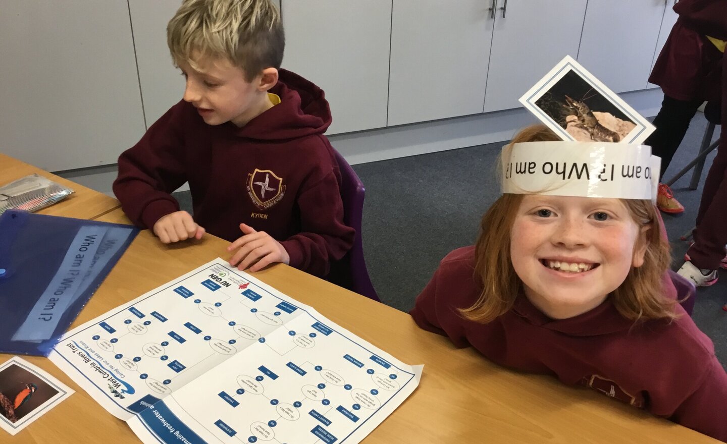
Rivers Workshop pt2
This afternoon, we learned more about the river as a habitat and played a game using a key to help us guess the animal. We then examined what a river needs to be healthy and what causes it to be unhealthy; we became conservationists and rangers, discussing ways to solve problems. Finally, we used…
Rivers Workshop pt1
We have had a great morning using our knowledge and vocabulary about rivers in various activities and learned new facts. We built a river using objects in the classroom and labelled it, we used a map of our local area to find nearby rivers and other river environment features and we got to handle…
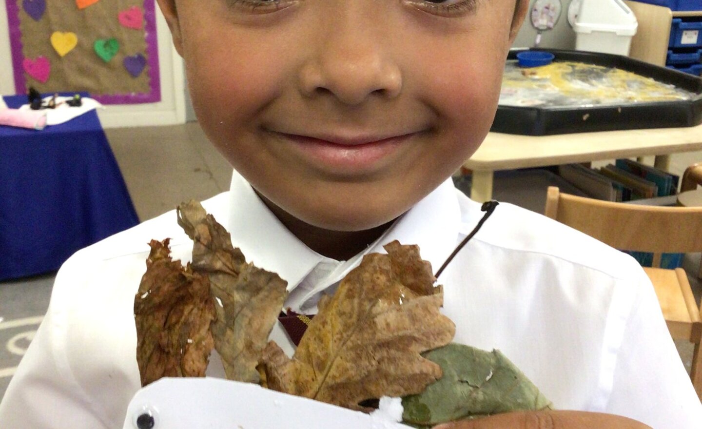
Autumn crafting in Reception
This half term in Reception we have been learning about the season of Autumn. The children brought in lots of Autumn things they had found at home such as leaves, conkers, acorns and pine cones and it was set up in a messy tray for children to explore using magnifying glasses. The children also…
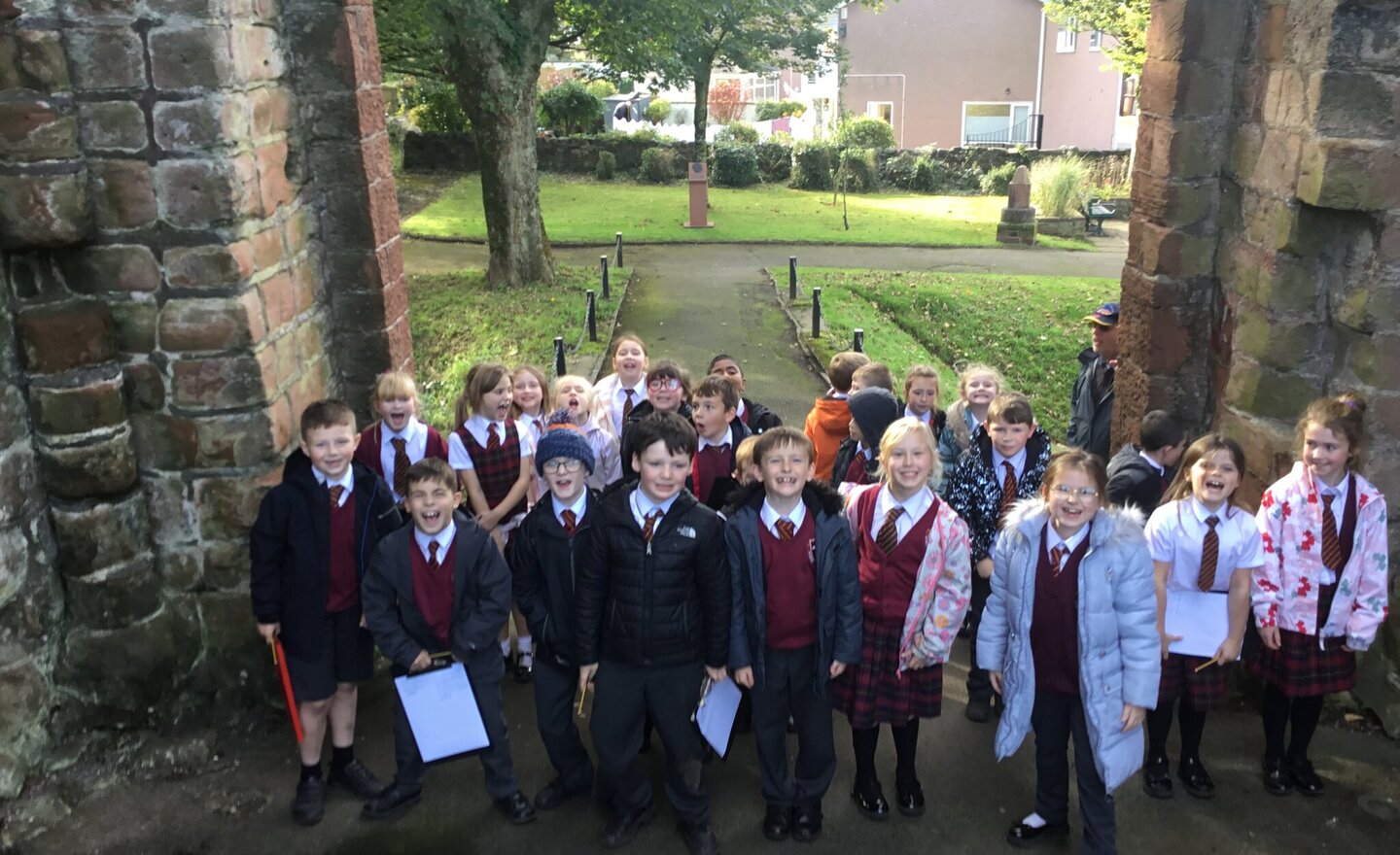
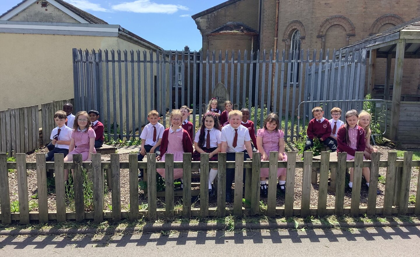
Year 3 Geography Field Trip
Year 3 used their clipboards and geographical knowledge to find physical and human features of Egremont. The bonus was finding conkers as they left the castle too.